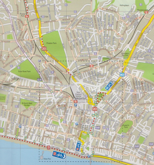
Brighton & Hove cycle maps
Produced in 2008 as part of the Cycling Demonstration Town project. These appear to have been generated in-house, but they use some symbols that are the same as those used by Cardiff Map created by CycleCity Guides.
Sample map area:

Map key:

The map shows quiet roads recommended by cyclists, traffic-free routes, and National Cycle Network routes. It does not attempt to classify every road, but shows all cycle lanes even where they are too narrow to be of any use. For example, Dyke Road is marked as having on-road cycle lanes, but in practice these are sometimes stupidly narrow:

or regularly blocked by parked cars:
